Mount Rainier National Park: Discovering the Majestic Peak
Mount Rainier National Park, sprawling over 369 square miles in Washington State, presents a microcosm of the Pacific Northwest’s rich ecological tapestry. This expansive area showcases a dramatic variation in elevation, from the lowland temperate forests at 1,600 feet to the summit of Mount Rainier at 14,411 feet. This elevation gradient supports a wide array of ecosystems. The lower regions of Mount Rainier National Park are draped in temperate rainforests, characterized by dense canopies of Douglas fir, western red cedar, and western hemlock. These forests are also home to lush undergrowth and a variety of ferns, mosses, and lichens, creating a verdant, green landscape that receives substantial rainfall.
This is what we see when we look up at Rainier, the beauty, the horror, the awe the unbelievability of size that confirms our own consequence on this earth. We look at the mountain, like god and can imagine nothing larger. Its incompressible life-span reminds us of the fleeting mortality of our own bones. – Bruce Barcott, author
As one ascends Mount Rainier, the landscape transforms. Mid-elevation areas feature montane forests where silver fir and mountain hemlock dominate. These areas are known for their seasonal displays of wildflowers. Higher still, the subalpine zone presents a mix of open meadows and sparse tree stands, leading up to the alpine and subalpine zones where the vegetation becomes more sparse and rugged, adapting to harsher conditions.
Mount Rainier National Park’s hydrology is dominated by its network of rivers and lakes, primarily fed by snowmelt and glacial runoff. These water bodies play a crucial role in shaping Mount Rainier National Park’s landscape and sustaining its biodiversity. Among these, the Carbon River, originating from the Carbon Glacier, flows through a lush temperate rainforest in the northwest part of Mount Rainier National Park. This area, the Carbon River Rain Forest, is less visited due to its remote location and wet conditions, offering a serene and pristine environment for those who venture there.
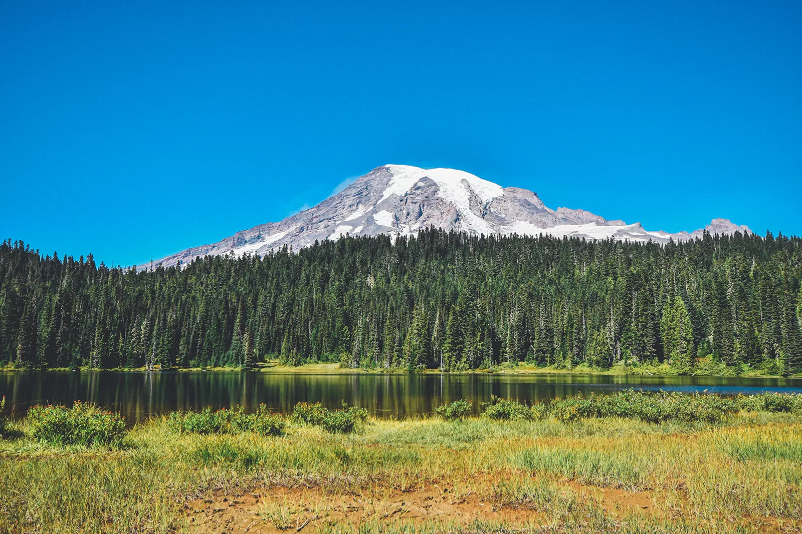
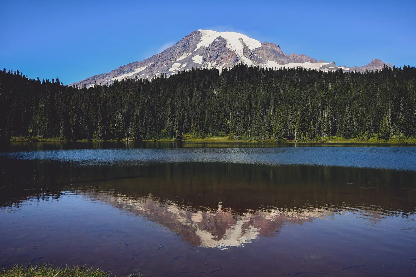
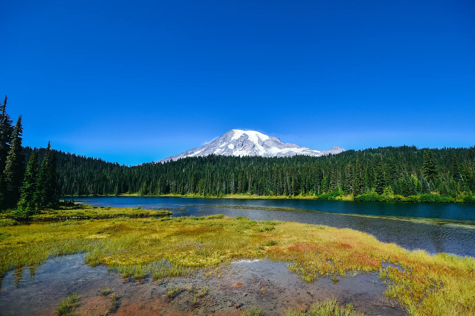
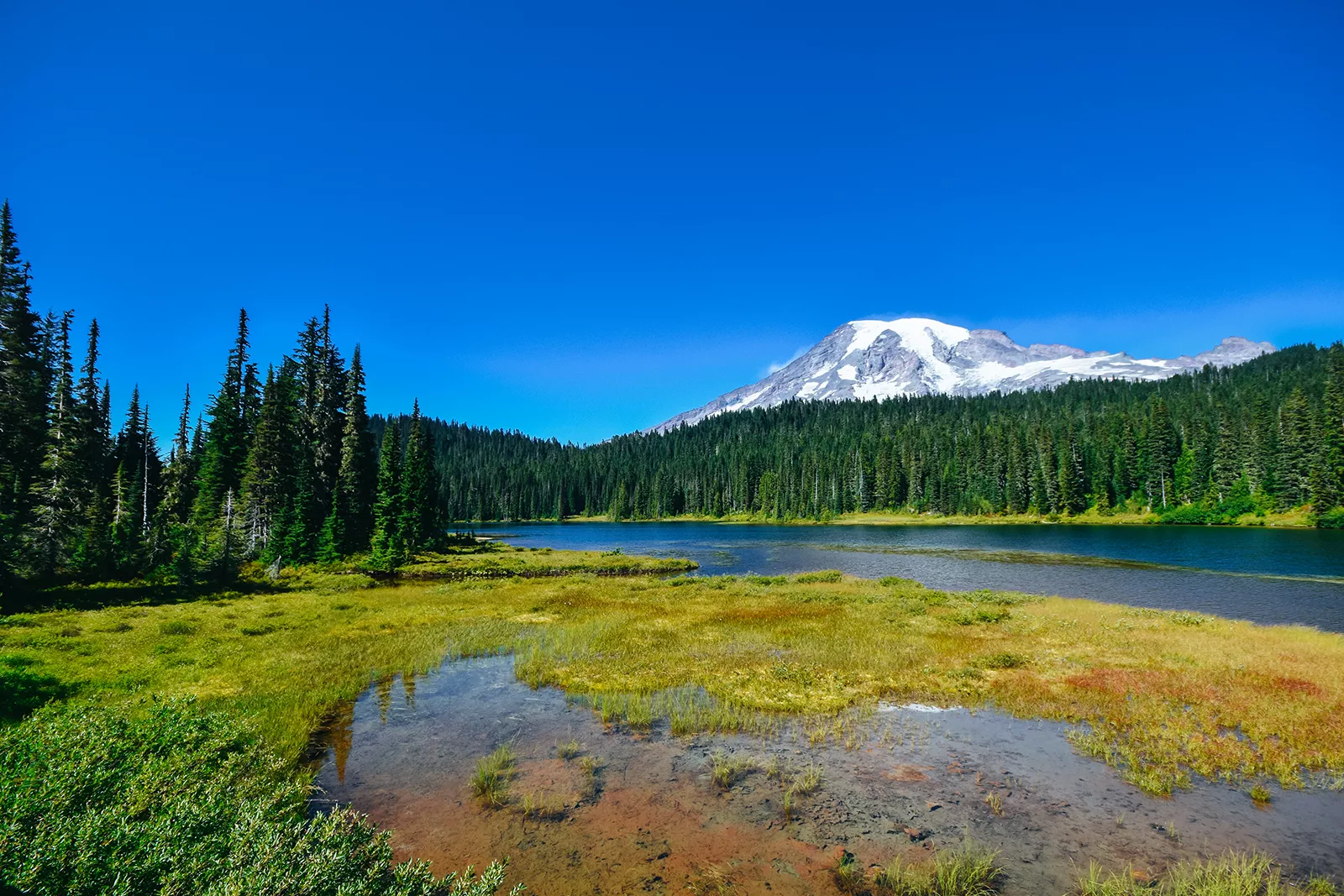
The Reflection Lakes, situated on the south side of Mount Rainier National Park near Paradise, are a marvel of tranquility. These lakes offer some of the most picturesque views of Mount Rainier, especially at dawn and dusk when the waters become still, creating a perfect mirror image of the mountain. The area around the lakes is also a popular spot for wildflower viewing in the summer months.
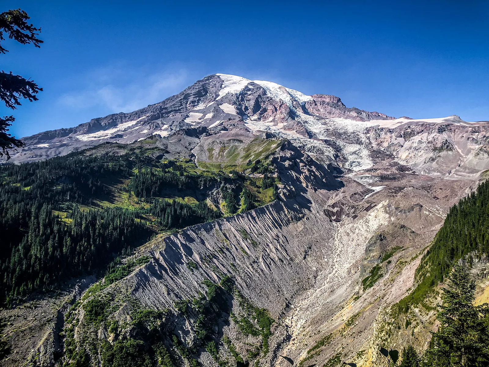
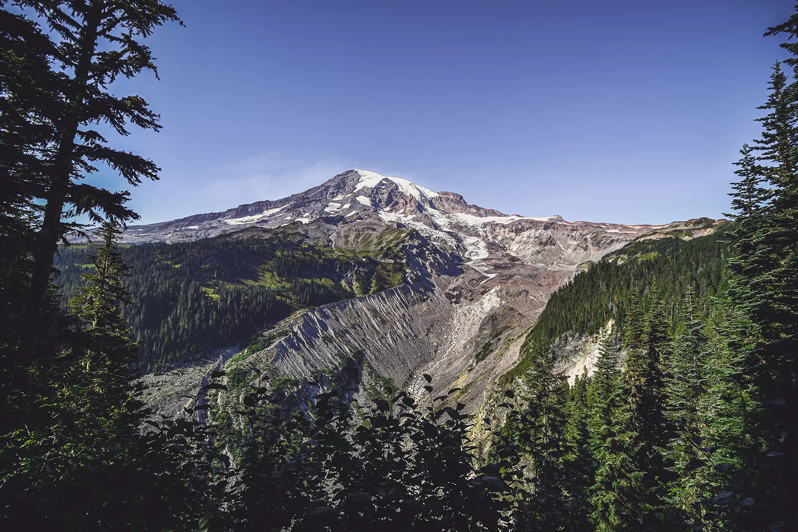
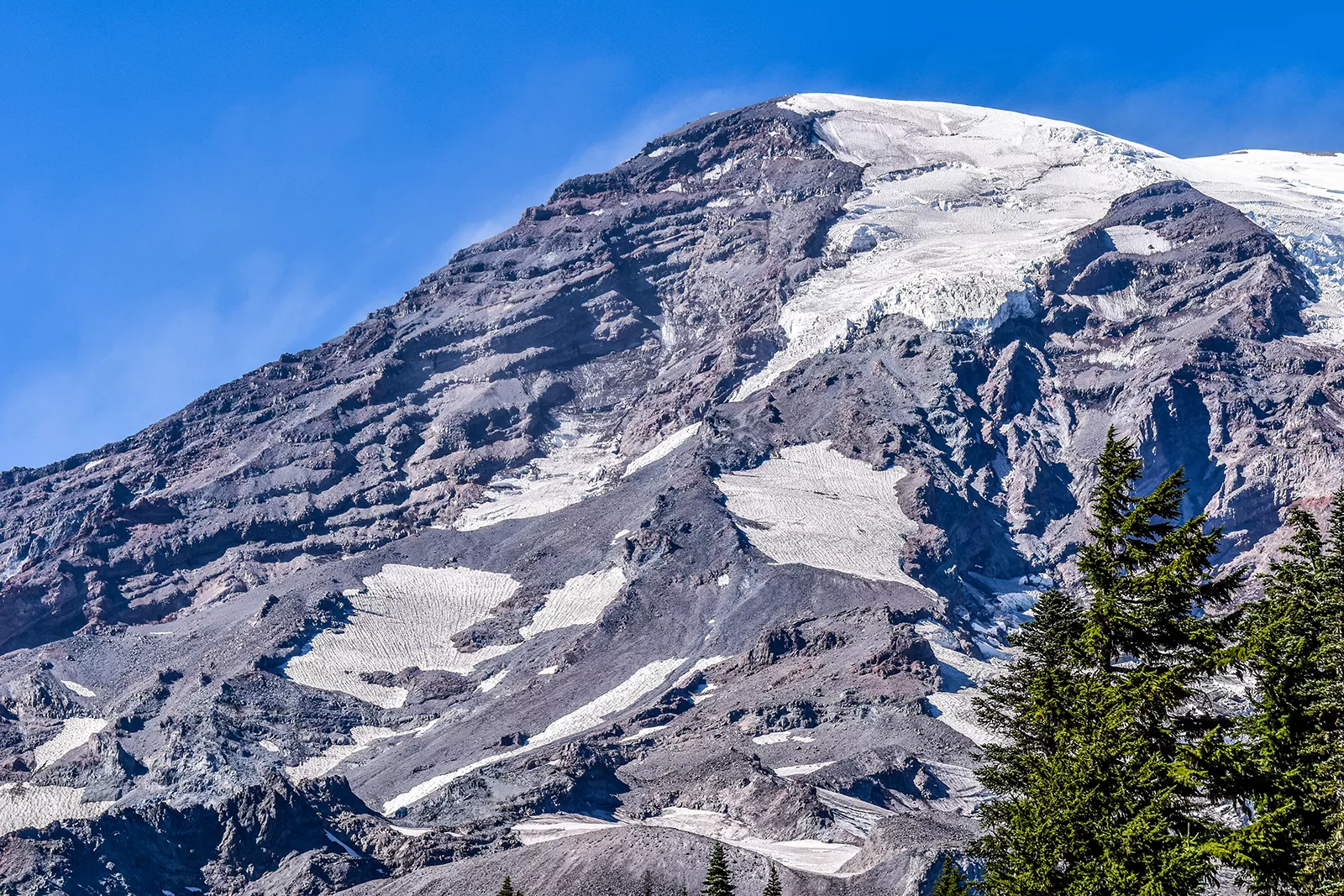
Mount Rainier stands as a colossal feature within Mount Rainier National Park, an active stratovolcano that is the most glaciated peak in the contiguous United States. The mountain is adorned with 25 major glaciers, with the Emmons Glacier being the largest by area in the contiguous U.S. These glaciers are not just visually stunning; they are vital to the region’s ecological and hydrological health. The glacial meltwater feeds into the park’s rivers and lakes, and eventually into the water supply for surrounding communities.
The glaciers on Mount Rainier also play a critical role in scientific research, offering insights into climate change and glacial dynamics. Scientists and researchers study these glaciers to understand their responses to environmental changes. Additionally, the glacial fields provide unique training grounds for mountaineers and climbers, offering them a chance to hone their skills in glacier travel and crevasse rescue.
Mount Rainier National Park is a magnificent natural area that showcases the diverse landscapes and ecosystems of the Pacific Northwest. From its lush rainforests and serene lakes to the towering, glacier-clad peak of Mount Rainier, Mount Rainier National Park offers a wealth of natural beauty and ecological significance.
Mount Rainier National Park is home to over 54 species of mammals. Commonly sighted mammals include black bears, which are often seen in the subalpine meadows during summer months foraging for berries. Deer, particularly the black-tailed deer, are another frequent sight in lower elevation areas and meadows. The park also provides habitat for smaller mammals like the hoary marmot, known for its distinctive whistles, and the American pika, a small alpine mammal.
More elusive are Mount Rainier National Park’s top predators like the cougar and bobcat, which are more often found in remote and rugged areas. These predators play a crucial role in the park’s ecosystem, maintaining the balance by controlling the population of smaller mammals and deer.
Birdwatchers are drawn to Mount Rainier National Park’s array of over 126 species of birds. The park’s bird population includes the striking Steller’s jay, known for its vibrant blue plumage, and the northern spotted owl, a species of special concern. High-altitude areas may reveal sightings of the gray-crowned rosy finch and the ptarmigan. Riparian areas along rivers and lakes are excellent spots for observing waterfowl and migratory bird species.
Mount Rainier National Park boasts over 1,000 native plant species, reflecting the range of ecological zones within its boundaries. From the dense, moss-laden forests at lower elevations to the rugged alpine zones, each area has its unique floral characteristics. Particularly renowned are the subalpine meadows near Paradise. During the summer months, these meadows burst into a spectacular display of wildflowers. Visitors can see fields adorned with scarlet paintbrush, subalpine daisy, and Magenta paintbrush, creating a vibrant tapestry of colors. Other notable species include the avalanche lily, which blooms shortly after the snow melts, and the sky-blue lupine, adding to the array of hues.
The flora in Mount Rainier National Park is not just notable for its beauty but also for its adaptability. Plants in the higher altitudes have adapted to survive harsh conditions, including low temperatures, high winds, and a short growing season. These adaptations include compact growth forms, hairy or waxy leaves to retain moisture, and bright colors to attract pollinators in a landscape where such insects are scarce.
Mount Rainier National Park, a towering emblem of the Pacific Northwest, is steeped in rich historical and cultural significance that extends far beyond its physical presence. The mountain itself has been a prominent figure in the lives and lore of the local Native American tribes, explorers, and conservationists.
For several Native American tribes in the region, Mount Rainier holds profound spiritual and cultural importance. Tribes such as the Puyallup, Yakama, Nisqually, and Cowlitz have ancestral connections to the area. They refer to the mountain as “Tahoma” or “Tacoma,” meaning “Mother of Waters” in Lushootseed language. This name reflects the mountain’s status as a source of rivers and a symbol of spiritual guidance. The tribes have historically used the area for hunting, gathering, and spiritual practices. The mountain’s abundant resources, such as berries and medicinal plants, along with game like deer and elk, have supported their physical and cultural sustenance. The tribes also have rich oral traditions and legends that speak of the mountain, emphasizing its role in their cultural narratives and cosmology.
The mountain was named “Mount Rainier” by British explorer Captain George Vancouver in 1792 in honor of his friend, Admiral Peter Rainier. This European naming, however, came much later than the mountain’s original indigenous names and only represents a small fraction of its long human history.
The establishment of Mount Rainier National Park in 1899 is closely tied to the efforts of renowned naturalist and conservationist John Muir. Muir, known for his advocacy for the preservation of wilderness in the United States, recognized the unique ecological value and sublime beauty of the Mount Rainier area. His writings and activism played a pivotal role in the development of the national park concept and the creation of Mount Rainier National Park as the fifth national park in the United States. Mount Rainier National Park’s establishment was part of the broader early conservation movement in the United States, which sought to protect natural areas from exploitation and development. This movement was driven by a growing recognition of the intrinsic value of natural landscapes and the need to preserve them for future generations.
In modern times, Mount Rainier National Park continues to be a place of convergence between natural beauty, cultural heritage, and conservation. The park is a living testament to the various layers of history and culture that have shaped its narrative. It stands as a symbol of the enduring connection between humans and the natural world, and the ongoing efforts to preserve such magnificent landscapes. Visitors to Mount Rainier National Park are not just stepping into a natural wonder but also into a realm rich with historical and cultural resonance.
Hiking and climbing at Mount Rainier National Park are very popular. However, the park also offers camping, excellent wildlife viewing, and opportunities for stunning photographs.
Cougar Rock Campground is located in the southwest area of the park, near the Nisqually River, Cougar Rock is ideal for visitors planning to explore the Paradise region. It offers over 170 campsites, available for tents and RVs, though no hookups are provided. The campground is typically open from late May to early October, offering amenities like potable water, flush toilets, and a dump station. It’s known for its easy access to hiking trails and stunning views of the mountain.
Nestled in the park’s southeast corner, Ohanapecosh Campground is famous for its old-growth forest setting and proximity to the Ohanapecosh River. Open typically from late May to early October, it provides over 180 campsites for tents and smaller RVs. This campground offers amenities like running water, flush toilets, and fire pits. It’s an excellent base for exploring the Grove of the Patriarchs and Silver Falls.
Mount Rainier National Park’s diverse ecosystems support a rich array of wildlife, offering fantastic opportunities for wildlife viewing. The Sunrise and Paradise areas are particularly renowned for this. At an elevation of 6,400 feet, Sunrise Area is the highest point in the park accessible by vehicle. The area offers sweeping views of the surrounding valleys and is a great spot for sighting mountain goats, marmots, and a variety of bird species. Known for its stunning wildflower meadows, Paradise Area also provides opportunities to see deer, black bears, and numerous bird species, especially during the early morning or late evening. Visitors are encouraged to bring binoculars and to maintain a safe and respectful distance from all wildlife.
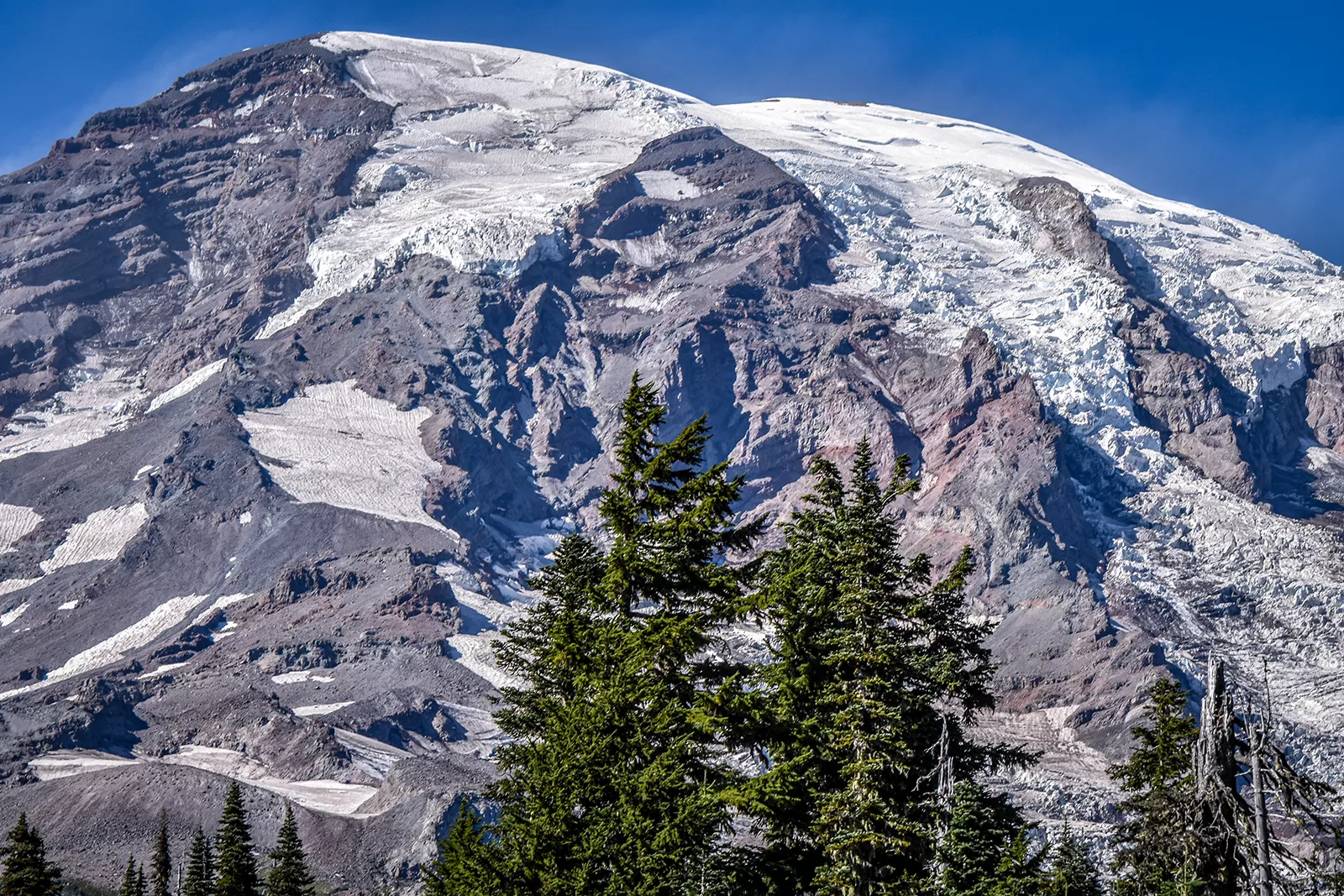
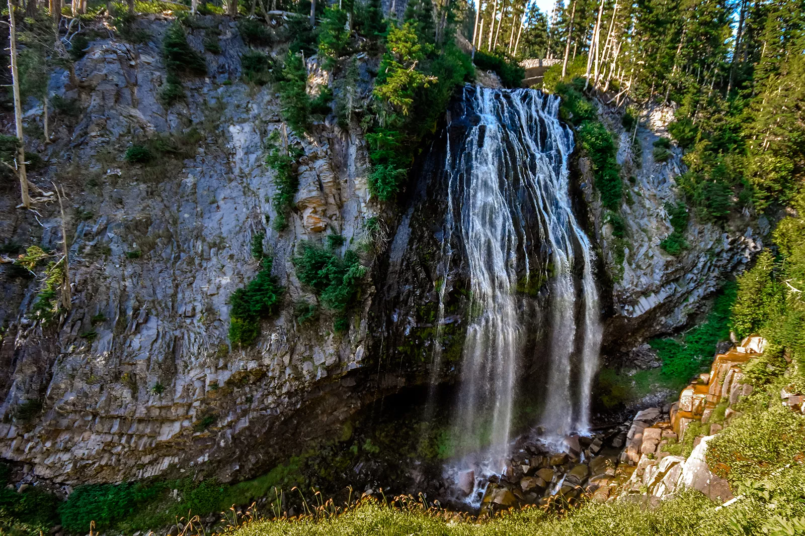
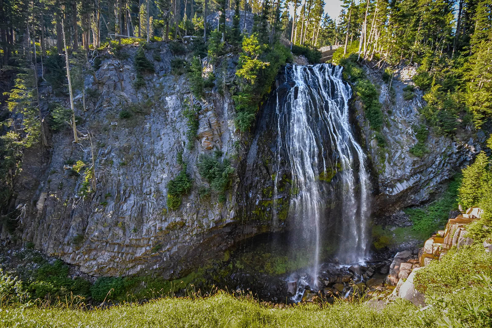
The park’s varied landscapes provide endless opportunities for photography. From alpine meadows and waterfalls to forests and wildlife, photographers of all levels can find captivating subjects. Tipsoo Lake, with its reflections of Mount Rainier at sunrise or sunset, is a favorite among photographers. Narada Falls, with its impressive waterfall plunging down a rocky cliff, offers dramatic shots, especially when the light creates rainbows in the mist. Each season brings its unique beauty, from the wildflower blooms of summer to the snow-covered landscapes of winter, making the park a year-round destination for photography enthusiasts.
Mount Rainier National Park, with its breathtaking scenery, diverse activities, and rich history, is a destination that truly offers something for everyone. Whether it’s the tranquility of a night spent camping under the stars, the thrill of spotting wildlife in their natural habitat, or the joy of capturing the perfect sunrise photo, the park provides countless opportunities for adventure, relaxation, and inspiration. In the spirit of John Muir, the park continues to beckon adventurers, nature lovers, and peace-seekers, promising an experience that is both memorable and deeply fulfilling.
Climbing at Mount Rainier National Park
Climbing Mount Rainier, the centerpiece of its namesake Mount Rainier National Park, is a challenging yet rewarding endeavor that draws mountaineers from around the globe. As an active stratovolcano with significant glaciation, climbing it requires thorough preparation, technical skills, and physical endurance.
The most frequently climbed route on Mount Rainier, Disappointment Cleaver Route is known for its accessibility and relative safety. Starting from Camp Muir at 10,188 feet, the route covers approximately 9 miles round-trip with an elevation gain of over 4,500 feet. Climbers navigate through the Cowlitz Glacier before ascending the rocky spine of Disappointment Cleaver. This route, while popular, presents challenges such as crossing crevasses and dealing with potential rockfall. The climb typically takes two days, with climbers spending a night at Camp Muir or on the Ingraham Glacier.
Emmons-Winthrop Glacier Route, although longer and less crowded than Disappointment Cleaver, offers a unique climbing experience. Starting from the White River Campground, climbers trek to Camp Schurman at 9,500 feet. The route then traverses the expansive Emmons Glacier, the largest glacier in the contiguous United States. Covering about 10.5 miles round-trip, this route requires climbers to navigate complex glacier terrain with numerous crevasses. The ascent via Emmons Glacier is often considered more scenic but demands solid glacier travel skills.
Climbing Mount Rainier is a serious undertaking that should not be underestimated. Preparation is key, including physical conditioning, acquiring technical mountaineering skills, and understanding mountain weather and route conditions. Climbers need to be in excellent physical shape. The climb involves long hours of strenuous activity at high altitude. Conditioning should include cardio, strength training, and endurance exercises. Proficiency in glacier travel and crevasse rescue techniques is crucial. Climbers should be skilled in using ice axes, crampons, ropes, and other mountaineering gear. Many climbers opt to take mountaineering courses or hire professional guides. Understanding the weather patterns and staying updated on route conditions is vital. The weather on Mount Rainier can change rapidly, presenting dangers such as whiteouts, high winds, and severe cold.
The optimal time for climbing Mount Rainier is typically from late spring to early fall, with July and August offering the most stable weather conditions. However, these months also see the most climbers, so routes can be crowded. All climbers must obtain a climbing permit, available through the National Park Service. Permits are crucial for managing the number of climbers and ensuring the safety and environmental sustainability of the mountain.
Climbers are urged to practice Leave No Trace principles to protect the fragile alpine environment. This includes packing out all waste, respecting wildlife, and staying on designated routes to minimize impact. Safety is paramount. The risks of altitude sickness, severe weather, and glacial hazards like crevasses and avalanches necessitate careful planning and decision-making. Many climbers opt to climb with experienced guides or join organized expeditions to enhance their safety.
In conclusion, climbing Mount Rainier is an adventure that offers breathtaking views and a profound sense of accomplishment. However, it demands respect for the mountain’s power and preparation to meet its challenges. Those who undertake this journey are rewarded with an unforgettable experience amidst the beauty of one of America’s most iconic peaks.
Mount Rainier National Park Trails
Mount Rainier National Park’s 260+ miles of trails offer an incredibly diverse range of hiking experiences. From easy strolls through ancient forests to challenging backcountry adventures, these trails allow visitors to deeply connect with the natural beauty of the park.
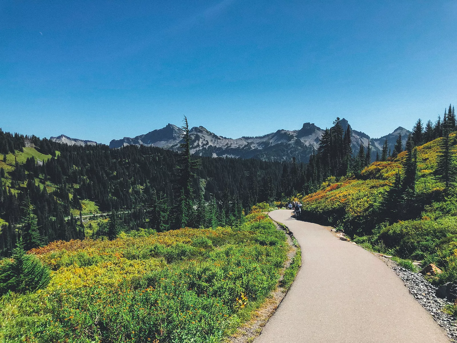
The 5.5-mile Skyline Trail, starting at the Paradise area, is a jewel in the park’s crown. It gains about 1,700 feet in elevation, making it a moderately challenging hike. The trail is renowned for its breathtaking wildflower displays, especially vibrant in July and August. Hikers are treated to a visual feast of magenta paintbrush, broadleaf lupine, and pasqueflower. The trail also offers a chance to spot marmots, pikas, and, if lucky, the elusive mountain goats. Panoramic views from the trail include the dramatic Tatoosh Range, and on clear days, Mount Adams, Mount Hood, and Mount St. Helens are visible in the distance. The Myrtle Falls viewpoint, just a short distance from the trailhead, is a popular spot for photographers.
Wonderland Trail, an ambitious 93-mile trek, is a true test of endurance and a once-in-a-lifetime experience for avid backpackers. The trail circumnavigates Mount Rainier, providing an up-close view of the mountain from all angles. With an elevation gain of 22,000 feet, this trail is not for the faint of heart. Hikers will traverse through lowland forests, subalpine meadows, and high alpine zones, encountering a variety of microclimates and ecosystems. The Wonderland Trail has several designated campsites, and hikers need to plan their trip well in advance, as permits are required and competition for spots can be fierce. The experience of trekking through changing landscapes, each with its unique beauty, is unparalleled. Hiking the entire trail typically takes 10-14 days, but shorter segments can be hiked for those with limited time.
The 1.5-mile loop Grove of the Patriarchs trail is a gentle journey into the heart of an ancient forest. With minimal elevation gain, it is accessible to hikers of all ages and abilities. The highlight of the trail is the old-growth forest, featuring colossal Douglas firs, western red cedars, and western hemlocks. Some of these giants are over a thousand years old and reach heights of more than 300 feet. The trail includes a suspension bridge over the Ohanapecosh River, adding a sense of adventure to the walk. This path provides a tranquil experience, allowing visitors to step back in time and imagine the Pacific Northwest as it was centuries ago. The Grove of the Patriarchs is a testament to the enduring majesty of nature and a reminder of the importance of preserving these natural wonders.
Each of these trails, with their unique characteristics and offerings, contributes to the rich tapestry of experiences at Mount Rainier National Park. They allow visitors to engage intimately with the park’s diverse landscapes, from the vibrant meadows and cascading waterfalls to the silent, ancient forests. Whether you are a seasoned hiker or just looking for a peaceful walk in nature, these trails provide an unforgettable experience in one of America’s most beloved national parks.
What’s Nearby Mount Rainier National Park
In the vicinity of Mount Rainier National Park, a myriad of natural attractions await exploration. Bridal Veil Falls, a stunning cascade in the Columbia River Gorge, mesmerizes visitors with its ethereal beauty, particularly in the lushness of spring. Not far away, the majestic Multnomah Falls stands as Oregon’s tallest waterfall, offering awe-inspiring views from the Benson Footbridge that spans its two dramatic tiers. Nearby, Horsetail Falls impresses with its unique, plume-like flow that is easily viewed from the road, making it a convenient stop for those seeking natural beauty without a strenuous hike. In the Mount Hood National Forest area, the serene Zigzag Falls provides a peaceful retreat, accessible via a gentle trail through verdant surroundings. Additionally, Little Crater Lake, with its crystal-clear, spring-fed waters, offers a tranquil and picturesque setting, ideal for contemplation and relaxation. Together, these sites form a mosaic of natural wonders, each enhancing the rich tapestry of landscapes that surround Mount Rainier.
Mount Rainier National Park Parking Information
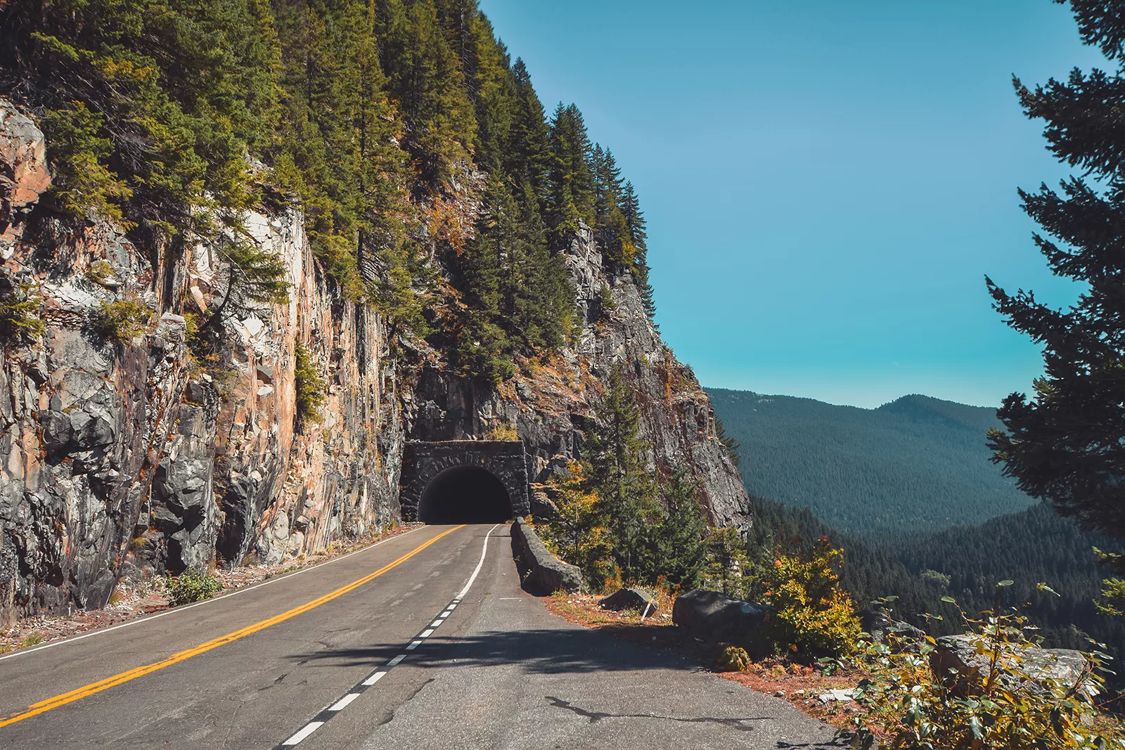
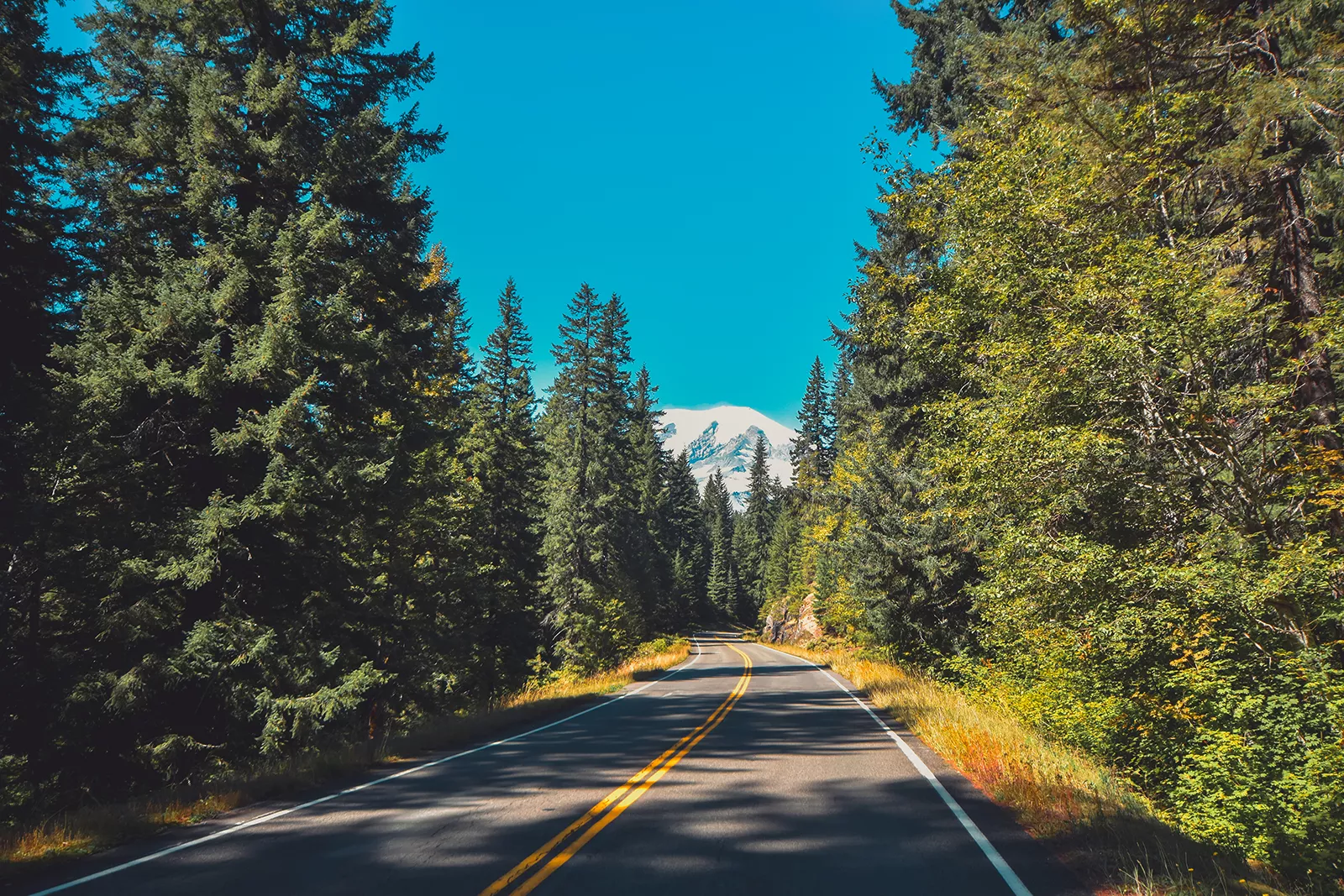
Mount Rainier National Park is accessible via several main routes, with the Nisqually Entrance in the southwest being the primary year-round gateway. To reach this entrance, visitors coming from Seattle can take Interstate 5 South to US Highway 512 East, then follow State Route 7 South to State Route 706 East, leading directly to the park. From the east, visitors can use State Route 123 or 410 to enter the park. During the summer, the Stevens Canyon Entrance on the southeast side of the park offers an additional route.
Once inside, there are various parking areas near key attractions and trailheads. At Paradise, one of the most popular areas, there is a large parking lot, but it can fill quickly on summer weekends and holidays, so early arrival is advised. The Sunrise area, on the park’s northeast side, also has a sizable parking lot, offering easier parking except during peak times. Smaller lots are available at trailheads and viewpoints throughout the park. It’s important to note that during winter, some roads and entrances may be closed due to snow, and tire chains may be required on open roads.


